- News |
-
- Featured
-
Canada’s privacy commissioner launches investigation over the use..
As the years pass by, technology also widens, and more and more are being discovered. From simple gadgets..
- Business |
-
- Featured
-
Be an informer to I-T dept; earn up..
Sharing "specific information" with the income tax department about any benami..
- Tech & Industry |
-
- Featured
-
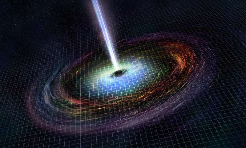
Gravitational wave event likely signaled birth of black..
The merger of two neutron stars that generated gravitational waves detected last year may have led to the birth..
- Entertainment |
-
- Topics
- Malayalam Film
- Media
- Music
- Youth
-
- Featured
-
Shawn Mendes Released Highly Anticipated Self-Titled Album Today
Los Angeles, CA : Multi-Platinum singer/songwriter Shawn Mendes released his highly anticipated self-titled third album today, via Island Records. Get..

-
- New Products |
-
- Topics
- General
-
- Featured
-
ZOTAC Introduces Its GeForce GTX 960 series graphics..
Dubai- ZOTAC International, a leading innovator and manufacturer of graphic cards and mini-

-
- Education |
-
- Topics
- Campus News
-
- Featured
-
ITM University, Gurgaon Student Palash Chhabra Represents Varsity..
New Delhi: Palash Chhabra, a student of ITM University,..

-
- Health |
-
- Topics
- Medical News
-
- Featured
-
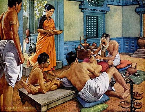
Maharshi Shushruta, The Great Grandfather of Surgery!
by Ayurvedacharya Dr.Hitesh Jani Dr.Hitesh Jani
-
- Tourism |
-
- Topics
- Travel
- Food&Beverages
- Hospitality
-
- Featured
-
“Keraliya Ayurveda is Credible and Authentic”
Irina Gurjeva Irina Gurjeva is not just another vacationer in..

-
- Sports |
- Editor's column |
- Magazine |
India’s first ever dedicated navigation satellite launched
Published on July 2, 2013
 In a landmark journey into a new era of space application, India successfully launched its first dedicated navigation satellite using the PSLV which blasted off from the Satish Dhawan Space Centre in Sriharikota.
The country’s workhorse Polar Satellite Launch Vehicle (PSLV) blasted off at 11.41 PM on Monday night and it ejected IRNSS-1A satellite and placed it in orbit a little past midnight, technically on Tuesday.
“IRNSS-1A, first of the seven satellites, constituting the Indian Regional Navigation Satellite System (IRNSS) space segment, was launched at a cost of approximately Rs 125 crore,” ISRO Chairman K Radhakrishnan said after the launch.
Consisting of a space segment and a ground segment, IRNSS has three satellites in geostationary orbit and four satellites in inclined geosynchronous orbit and is to be completed before 2015.
Over Rs 300 crore is earmarked for the ground segment and almost all the satellites would cost Rs 125 crore, since all of them would most probably be identical, he said.
The launch was “very precise” he said, adding that when the target of apogee was aimed at 20,650 km plus or minus 750 km, the rocket achieved an apogee of 20,625 km.
IRNSS will have a network of twenty one ranging stations geographically distributed across the country and will be wholly controlled by the Indian Deep Space Network at Byalalu, near Bangalore.
The satellites will be equipped with high precision atomic clocks to continuously transmit navigational signals.
By launching these satellites India will be one among US, China and some European countries.
This is the fourth time that an XL configuration has been flown, earlier satellites under the configuration were Chandrayaan, PSLV C11,17,19,GSAT 12 and RISAT 1.
The satellite will provide accurate information of tracking vehicles on land, air and water.
The applications in the satellite can also provide data on disaster management, guiding hikers and travellers and also voice navigation for divers.